Chatham House
June 2014
Dr. Latif Rashid Ph.D
Senior Advisor to the Iraqi President
Former Minister of Water Resources
- The Euphrates River is an ancient hydrological formation, rising in the northern highlands and flowing uninterruptedly to the Gulf over thousands of years. This has been the case until modern technology made it possible for human being to recklessly intervene and eventually alter the natural flows of the River.
- The 20th century’s balance of powers and its consequential new political setting in the area has made it truly international watercourse crossing the borders of modern Turkey, Syria and Iraq.
- Although nothing has changed in the natural characteristics of the River, the political borders, which are not natural barriers but (imaginary- border) lines, have made it look like a set of multiple rivers due to different requirements and management practices by the respective countries.
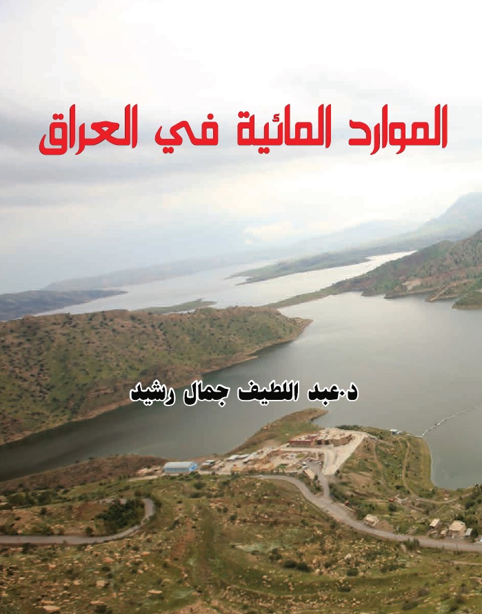
- Modern and ancient Iraq has been largely shaped, socially, culturally and economically by the river Euphrates (and of course the river Tigris). In fact human advancement started in the Euphrates and Tigris valley, the cradle of civilization.
- Until mid 1970s, the entire Euphrates influx used to flow through Iraq to the Gulf giving rise to human settlement and development and establishing the most precious ecosystem in the area which is the Mesopotamian Marshes in southern Iraq.
- Political borders represent the worst hurdle in transboundary river management. While the river does not recognize the borders, politicians and water managers in riparian countries considered them the ultimate limit beyond which water is of a lesser value.
- As the most downstream country, Iraq has suffered and continue to suffer the consequences of such neglect or disregards for water resources beyond the national borders. Inflows to our country has since been declining, due to the construction of dams in Turkey and Syria.
- Observed average Euphrates inflows into Iraq in the last 25 years, is less than the pre-dams long term average by 45%. This has resulted in sever water scarcity conditions in the country with elevated salinity levels, massive rural population displacement, reduced agricultural productivity, environmental degradation, shrinking land cover and increased vulnerability to climate change.
- The significant decline in the Euphrates inflows into Iraq was tragically combined with war destruction, economic sanctions and mismanagement by Iraq’s former regime causing wide spread food insecurity and poverty, loss of cultivable land, increased risk of pollution, water-borne diseases, economic and social losses and irreversible environmental damages.
- Neighboring countries constructed a series of major dams on the upper reaches of the Euphrates, the storage capacity of which exceeds the average annual flow of the river for four years. This is obviously not sustainable by any standards and the negative impact of storing more water than the actual yield of the watershed is proven beyond doubt by environmentalists, economist and ecologists.
- In Iraq, the Euphrates River is the main buffer against the expansion of the desert. Desertification is the process by which the fertile and cultivable land is transformed into a lifeless desert, contributing to poverty and food insecurity. Combined with higher than average recorded surface temperature in Iraq. Desertification has become a major contributor to climate change acceleration.
- Population growth, over-control and unsustainable management of water resources are causes for serious conflicts in the area. In the absence of mutually agreed conflict resolution mechanisms, such as water sharing agreements between nations, conflict over water is a serious threat to peace and stability.
- In Iraq our strategic choice is to engage with our neighbors in serious and peaceful dialogue to achieve lasting and long term water sharing agreement based on sustainability and common interest.
Practical solutions have been put forward to achieve water sharing agreements. This included serious negotiation, arrangements for operational procedures of the dams, increase the amount of water for downstream. Both political and technical road maps will be necessary to achieve final arrangements between transboundary states.